

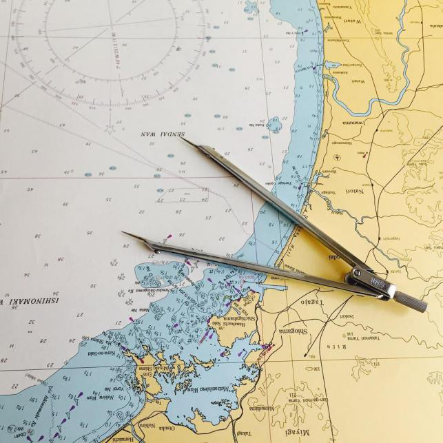
Nautical chart is a sea map reflecting the changes of port, channel, seabed topography, navigation rules and navigation marks. It is used for navigation and positioning of ships and is an indispensable tool for navigation safety of ships.
In the coastal countries of the world, nearly 80 countries and regions publish and distribute nautical charts and nautical books in their coastal areas. The charts are mainly published in the United Kingdom and the United States. Most of other countries publish nautical charts in their coastal and adjacent areas.

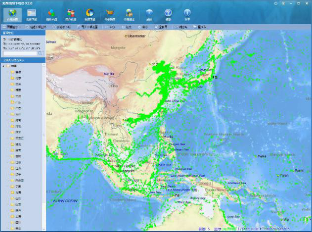
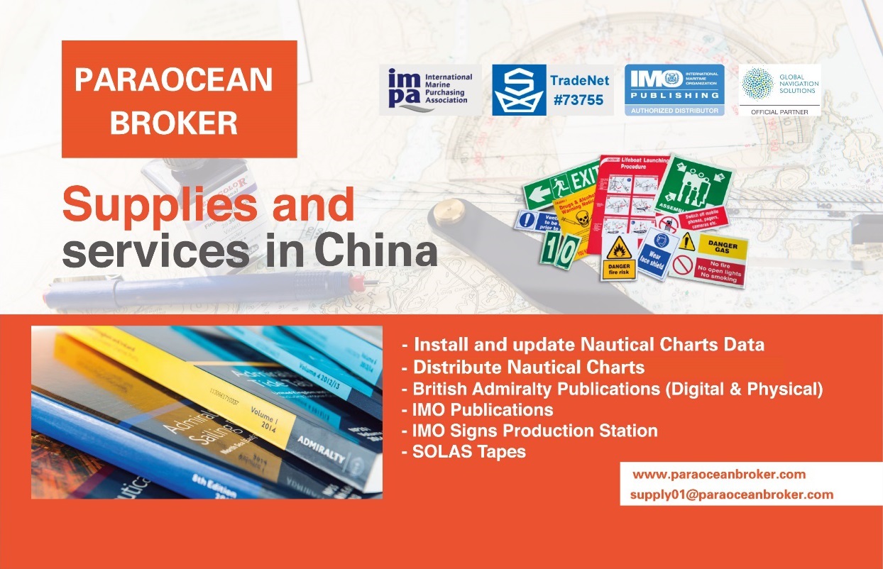
We are authorized to distribute nautical charts and IMO publications in China and periodically update electric charts data to ensure safer navigation.
We delicate to offer prompt response to any purchase and urgent aid. All along we provide complete products, adequate inventory, caring courier services and urgent calling services, so we are recognized by more and more customers.
Contact: shipsupply01@paraoceanbroker.com
Customer Service Hotline
0086 755 8922 1929
QQ:2175389488
Skype:iamdavid03
备案号:粤ICP备16083331号
深圳市超洋海事服务有限公司
Shenzhen Paraocean Maritime Service Co., Ltd
ADD: Room 1102,B Block, Haigang Building, No.1289 Shenyan Road, Yantian District, Shenzhen, China